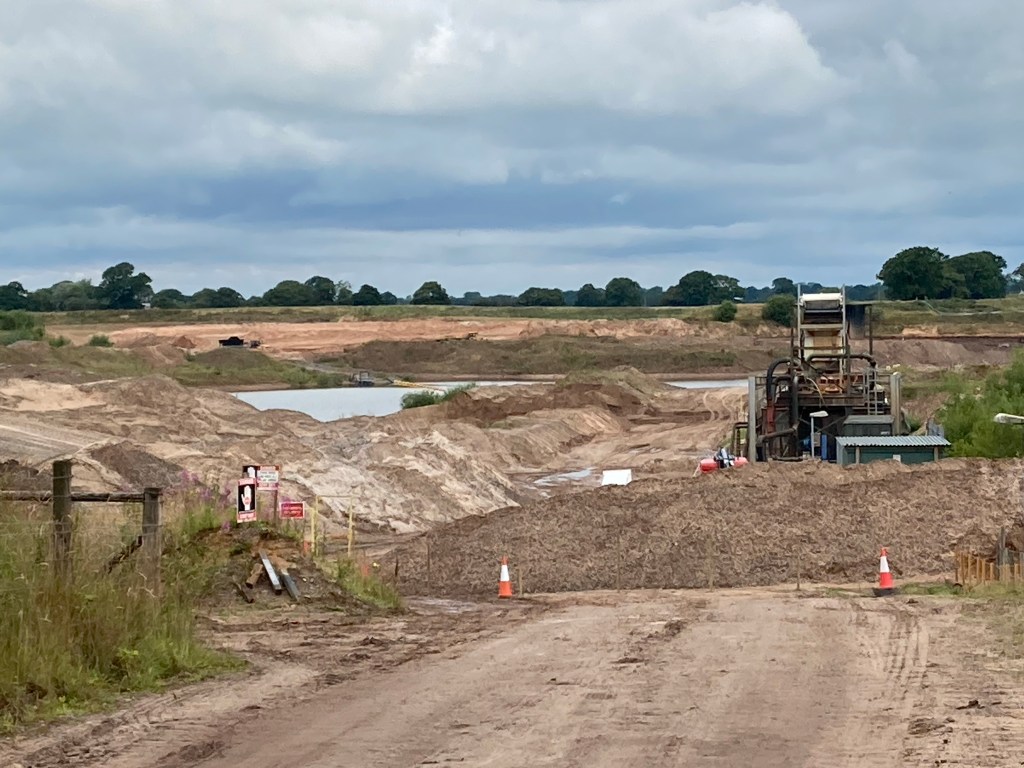
Today I woke in a better mood ready to tackle both breakfast and the A-road walking. Breakfast was surprisingly good and the A-road not too busy. I turned onto a minor road and found myself by a large sand quarry. The ground does seem quite sandy round here. The peace of the minor road didn’t last long and I was back on another A-road. This time it was busier but I negotiated it efficiently and that is pretty much the end of my A-road walking for a while. I was a little nervous as today relied heavily on bridleways. The first one was not only clearly marked, but also paved, so I made good time to the canal. I joined it just at the top of a flight of twelve locks (Bosley locks) which, according to a chap who was just finishing the ascent takes a couple of hours if you get a clear run at it.
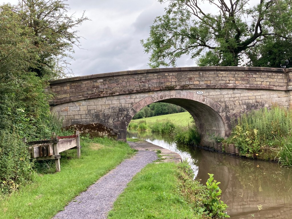
The towpath was well-maintained. I met a couple of walkers and had my picture taken by one set when they heard where I was going. Before long I had reached the point where I left the canal-over a rising bridge. I saw it in action as well. Oh the wonders of the industrial world.
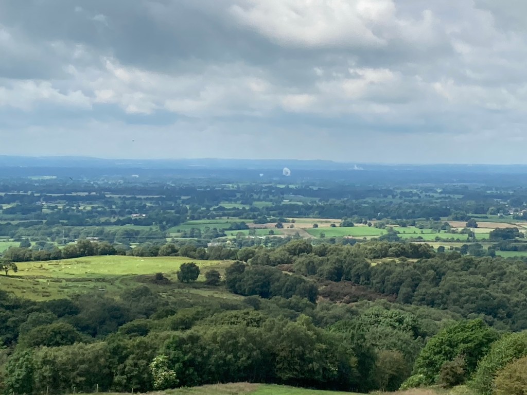
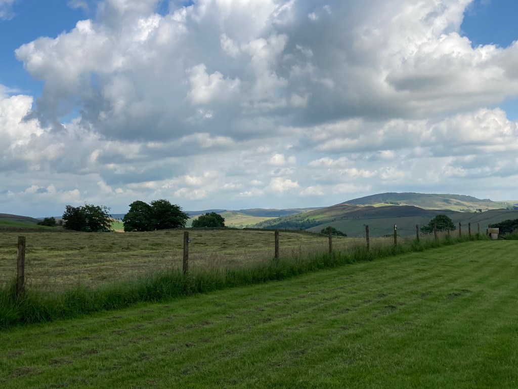
My path now took me eastwards, up into the hills. Up and up, but fairly gently and after some time I reached a ridge, the Gritstone Trail. I looked back and was treated to the most far-reaching view yet. Across Cheshire to Beeston (stands out as it is a lone rock) and beyond that to the Welsh hills. I could also see the Cheshire plain northwards as well. I’ve added a photo (I don’t think you can see Beeston in this one ) because there is a large white thing in it and I wondered if anyone knew what it was?
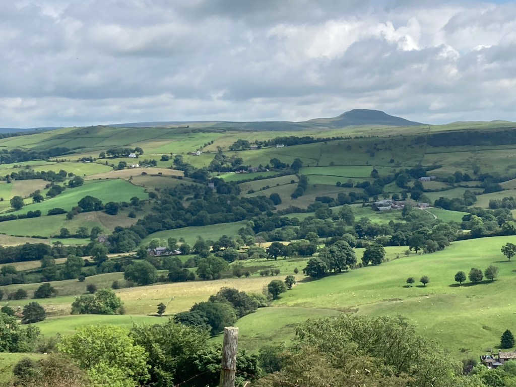
I headed over the ridge (East Cheshire doing well on the footpath front) and into very different countryside.
Whilst negotiating my way downhill I realised that there was a pub marked on my map and that, if it were open on Tuesdays then I might be in time for lunch. With that thought my pace quickened. I was a woman on a mission. My mood lifted as I spotted a car park, and a few minutes later, as the bend in the road unfolded, a pub. The Ryles Arms was indeed open so I stopped and had pie and chips. I lingered there for over an hour, ample time for my phone to charge, as I knew I had only a couple of miles to go to my campsite.
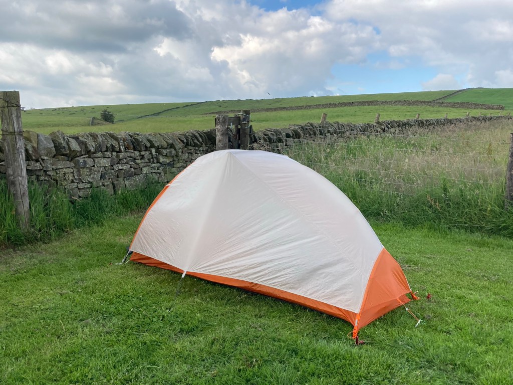
Of course the way to my campsite was uphill. Steeply uphill. Still, I had been fortified by a large lunch (and was too full even to contemplate pudding) so I took it slowly and steadily until I reached the campsite. Along an A-road. Sigh. I was the only person there. It is in a field behind a pub but the pub only opens from Thursday to Sunday. I ate my lunchtime sandwiches for my dinner and settled down to an early night.

Hi Rose, Could the white blob be the Jodrell Bank telescope? And I’m wondering whether the planks by the bridges on the canal are for blocking off stretches to drain them for maintenance – they would slot into grooves, but I can’t see any.
LikeLike
Thank you Liz and Sue-I think it must be Jodrell Bank. I don’t think there were any grooves Liz.
LikeLike
I thought it could be Jodrell bank too
The other thought I had was the Van de Graaf accelerator at Daresbury but I don’t know which direction you’re looking in the photo
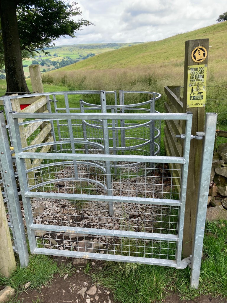
Those double kissing gates do look tricky and why have two?
LikeLike